Davenport Landing
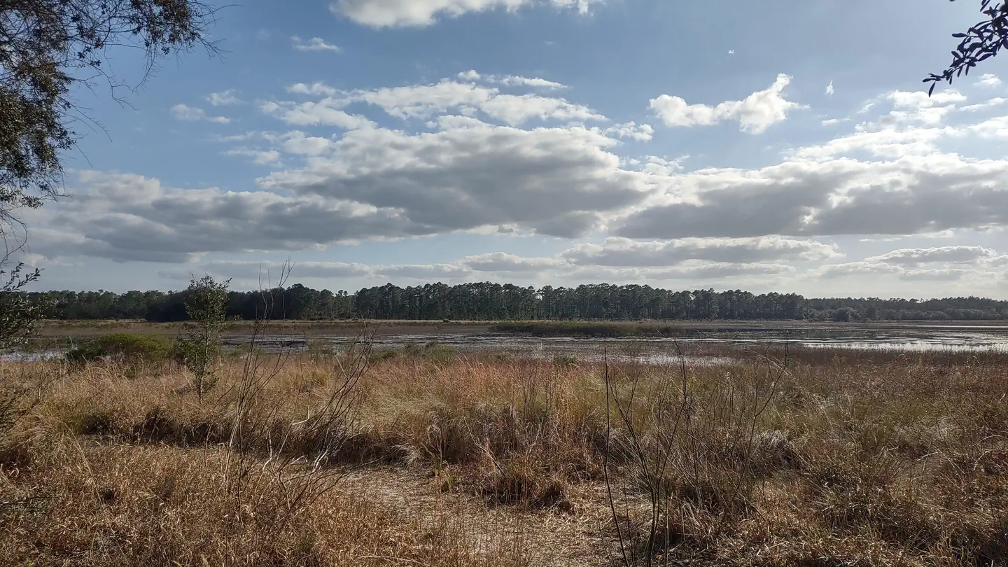
Deep in the floodplain forest along the Ocklawaha River, Davenport Landing is a former steamboat stop along this twisting, winding waterway. Three primitive campsites provide a stop for paddlers working their way along the river. Boating. Paddle your canoe or kayak across the beautiful waters of Davenport Lading in search of a quiet spot along the shoreline. Fishing. Sitting along the Ocklawaha River, this is the perfect location to cast a line from the shallows for a chance to catch that big one. Just keep an eye out for any alligators that may be roaming the area. Hiking.
More like this: first-come in Florida · tent only in Florida

Amenities & rules
| Equipment | Tents |
| Fees | Free |
Individual sites vary. Confirm on Recreation.gov or with the managing office.
Season & status
| Status | Temporarily closed |
| Forest | National Forests in Florida |
| Fees | Free |
| Rules | Limit 15 people (5 per campsite). Remember to remove all garbage and trash, "pack it in, pack it out". |
Weather by month
Getting there
| Coordinates | 29.4723° N, 81.7737° W · Directions ↗ |
Fire nearby
- WildfireSellers Lake 2
26 mi from the campground · 74 acres
- WildfireRussian Bend
29 mi from the campground · 34 acres
- WildfirePine Lakes
42 mi from the campground · 119 acres
Distance is to the reported incident point, not the fire edge. Call the managing office before you drive.
Supplies & services
| Dump station | Dump station ↗ | 8.2 mi |
| Outdoor gear | Conkey's Hound and Hunting Store ↗ | 23.3 mi |
| RV sales & service | Ocean Grove RV Sales ↗ | 33.9 mi |
Locations © OpenStreetMap contributors. Call ahead; hours change seasonally.
Explore
Video
Video of Davenport Landing, FL from Tim M.
Worth a stop
- 8.9 miSalt Springs Marina Launch ↗Boat launch
Trails nearby
- under 0.1 miDavenport Landing0.3 mi trail · hiking
- 0.1 miDavenport Loop0.2 mi trail · hiking
- 2.3 miDelancy Loops ↗8 mi trail · hiking, horse, bike, motorcycle and 2 more
- 3.1 miPenner Pond Loop1.1 mi trail · hiking, horse
- 3.1 miFNST - Lake George Section ↗39.5 mi trail · hiking, horse · national_scenic_or_historic
- 3.2 miRodman Spur0.3 mi trail · hiking, horse, bike, motorcycle and 2 more
Trailheads within three miles
- 2.9 miDelancy West OHV Trailhead ↗National Forests in Florida
Trail and trailhead records are the Forest Service's. Distances are straight-line to the nearer trail end. Trail conditions are not tracked here.
Public land it sits in
Little Lake George Wilderness begins about 3 miles away, and it is the closest of these.
- 3 miLittle Lake George Wilderness ↗Wilderness · Forest Service · 2,827 acres
Each unit is published as a centre point and an acreage rather than a boundary, so this section stands it in for a circle of the same area. Whether a campground is inside, and how far it is from one it is outside, are both approximate.
Other campgrounds nearby


Historic landmarks nearby

Guidebooks for Florida
We earn a small commission if you buy through these links. It does not change what we list.
Titles come from Open Library's catalog, matched by subject heading or by title.
Reference
Questions people ask
How much does it cost to camp at Davenport Landing?
Free
Source: Forest Service
Is Davenport Landing open right now?
Temporarily closed as of Oct 26, 2026.
Source: Forest Service status
How many sites does Davenport Landing have?
5 sites.
Source: Forest Service
Can I bring an RV to Davenport Landing?
Davenport Landing is listed for tents only.
Source: Forest Service
What if Davenport Landing is full?
The nearest public campgrounds are Lake Delancy East Campground (3 mi, first-come), Lake Delancy West Campground (3.3 mi), and Salt Springs Recreation Area (8.4 mi).
Source: Campgrounds nearby