 Campsite Atlas
Laurel Fork Campground
Located along the Laurel Fork River between Laurel Fork North and South Wilderness areas, this primitive campground offers visitors a nice camping opportunity in the Middle Mountain area on the site of an old Civilian Conservation Corps location. D ay hiking and backpacking opportunities are available leaving from this campground as well through the Laurel Fork North and South Wilderness.
The federal database holds very little for this campground, so this page is short. For current conditions and details, the official links in the sidebar are the better source.
Getting there
From Elkins, WV : Follow Highway 33 east approximately 16 miles to Wymer. Turn south on the Middle Mountain road (Forest Road 14). Travel 11 miles to the junction of Forest Road 423. Take Forest Road 423 east for approximately 1 1/2 miles.
Campgrounds nearby
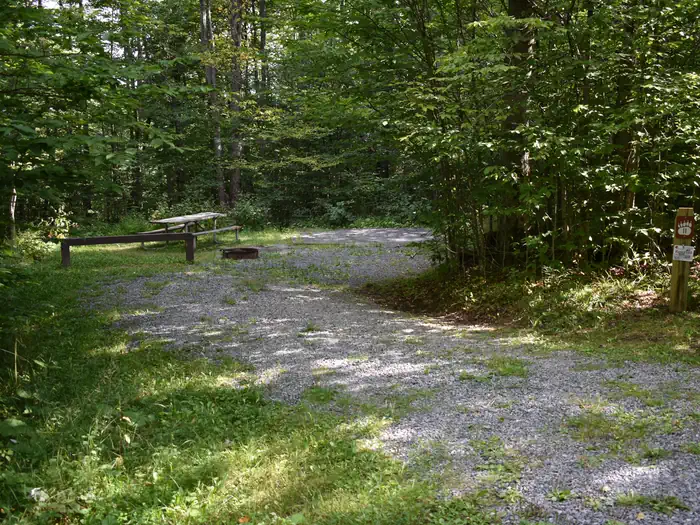
11.2 miles away
Data source: Recreation.gov RIDB, retrieved August 30, 2026. The Campsite Atlas is an independent publication and is not affiliated with or endorsed by the Recreation.gov or any federal agency. Always confirm critical details on the official Recreation.gov page before you travel.