 Campsite Atlas
Stuart Recreation Area
The Stuart Campground and Recreation Area is set in a mixed forest along the banks of the Shavers Fork River. The river provides excellent fishing and is regularly stocked with trout. Hiking trails lead to outstanding overlooks, local caves and Blackwater Falls. It is comprised of one campground, one group campground and a day-use area. The campground has 26 (25 single, 1 double) camping units with electric hookups, fire rings, lantern posts, picnic tables and paved spurs. In addition, there is a developed host site equipped with electrical, water, and sewage hookups. Most of the campground sites and facilities within it are ABA accessible.
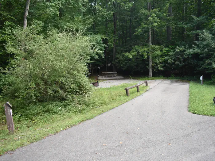
Campsites
| Standard with electric | 26 |
| Host/management | 19 |
| group shelter nonelectric | 2 |
| Cabins with electric | 1 |
| Group sites | 1 |
| group shelter electric | 1 |
| Total | 50 |
Amenities & rules
Compiled from site-level records; individual sites vary. Confirm on Recreation.gov or with the managing office.
Getting there
From Elkins, West Virginia: Take Highway 219 to Highway 33. Travel east for approximately 4 miles, turn north on old Route 33 and travel for 2 miles. Turn left at Highway 6 (at the Stuart Recreation Area directional sign) and drive .25 miles to entrance.
Campgrounds nearby
Data source: Recreation.gov RIDB, retrieved August 30, 2026. The Campsite Atlas is an independent publication and is not affiliated with or endorsed by the Recreation.gov or any federal agency. Always confirm critical details on the official Recreation.gov page before you travel.