Otter Creek Wilderness
Otter Creek Wilderness is 20,698 acres in size. The Otter Creek Wilderness lies in a bowl formed by Shavers Mountain and McGowan Mountain. Most of the streams flow north into Otter Creek. Vegetation consists of second-growth timber, rhododendron, and a variety of mosses and lichens. Elevations range from 1,800 feet at the mouth of Otter Creek to 3,900 feet on McGowan Mountain. Otter Creek Wilderness has 45 miles of trails, many of which follow old railroad grades, logging roads, or farm roads. Few bridges are provided at creek crossings and some streams may be difficult to cross during high water events.
More like this: first-come in West Virginia · tent only in West Virginia

Amenities & rules
| Equipment | Tents |
Individual sites vary. Confirm on Recreation.gov or with the managing office.
Season & status
| Forest | Monongahela National Forest |
| Rules | Groups over 10 persons are prohibited in the Wilderness. Pets must be under your control at all times. Motor vehicles are restricted to roads and parking areas. Mountain bikes and mechanical devices such as carts are not allowed on Wilderness trails. Practice Leave No Trace outdoor ethics: do not build a camp within 200 feet of roads, streams and trails. |
Weather by month
Getting there
| Coordinates | 38.9971° N, 79.6458° W · Directions ↗ |
Supplies & services
| Dump station | Dumping Station ↗ | 10.1 mi |
| Outdoor gear | Ski Barn ↗ | 11.2 mi |
Locations © OpenStreetMap contributors. Call ahead; hours change seasonally.
No site-by-site records, no fee schedule, no directions or photos in the Recreation.gov record. What is here comes from the agency's own listing. The rest lives there.
Checked nightly. Modules appear as soon as the record fills in.
Explore
Trails nearby
- 1 miPossession Camp3 mi trail · hiking, horse
- 1 miMoore Run Trail4 mi trail · hiking, horse
- 1.7 miTurkey Run Trail3.7 mi trail · hiking, horse
- 1.9 miGreen Mountain Trail4.1 mi trail · hiking, horse
- 2 miMylius Trail2.4 mi trail · hiking, horse
- 2.2 miMcGowan Mountain Trail3.7 mi trail · hiking, horse
Trail and trailhead records are the Forest Service's. Distances are straight-line to the nearer trail end. Trail conditions are not tracked here.
Public land it sits in
This campground sits inside Otter Creek Wilderness.
- inOtter Creek Wilderness ↗Wilderness · Forest Service · 20,705 acres
- 4.2 miMonongahela National Forest ↗National Forest · Forest Service · 1,703,725 acres
- 11 miRoaring Plains West Wilderness ↗Wilderness · Forest Service · 6,794 acres
Each unit is published as a centre point and an acreage rather than a boundary, so this section stands it in for a circle of the same area. Whether a campground is inside, and how far it is from one it is outside, are both approximate.
Other campgrounds nearby


Cabin and lookout rentals nearby

Historic landmarks nearby


Guidebooks for Monongahela National Forest and West Virginia
We earn a small commission if you buy through these links. It does not change what we list.
- Five-Star Trails: West Virginia's Monongahela National ForestJohnny Molloy, 2022Find at Bookshop.org
Titles come from Open Library's catalog, matched by subject heading or by title.
Reference
Questions people ask
Can I bring an RV to Otter Creek Wilderness?
Otter Creek Wilderness is listed for tents only.
Source: Forest Service
What if Otter Creek Wilderness is full?
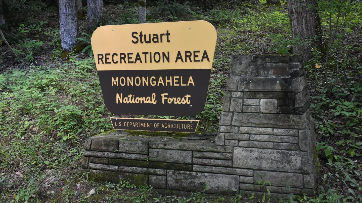
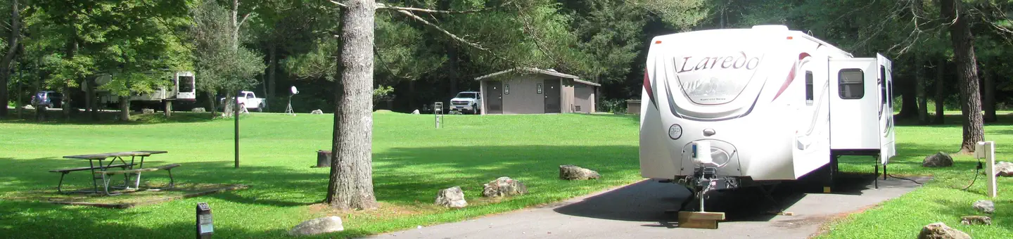
The nearest public campgrounds are Bear Heaven Campground (5 mi, first-come), Stuart Recreation Area (8.7 mi), and Horseshoe Recreation Area (12.9 mi, partly first-come).
Source: Campgrounds nearby