Jewell Lake Campground
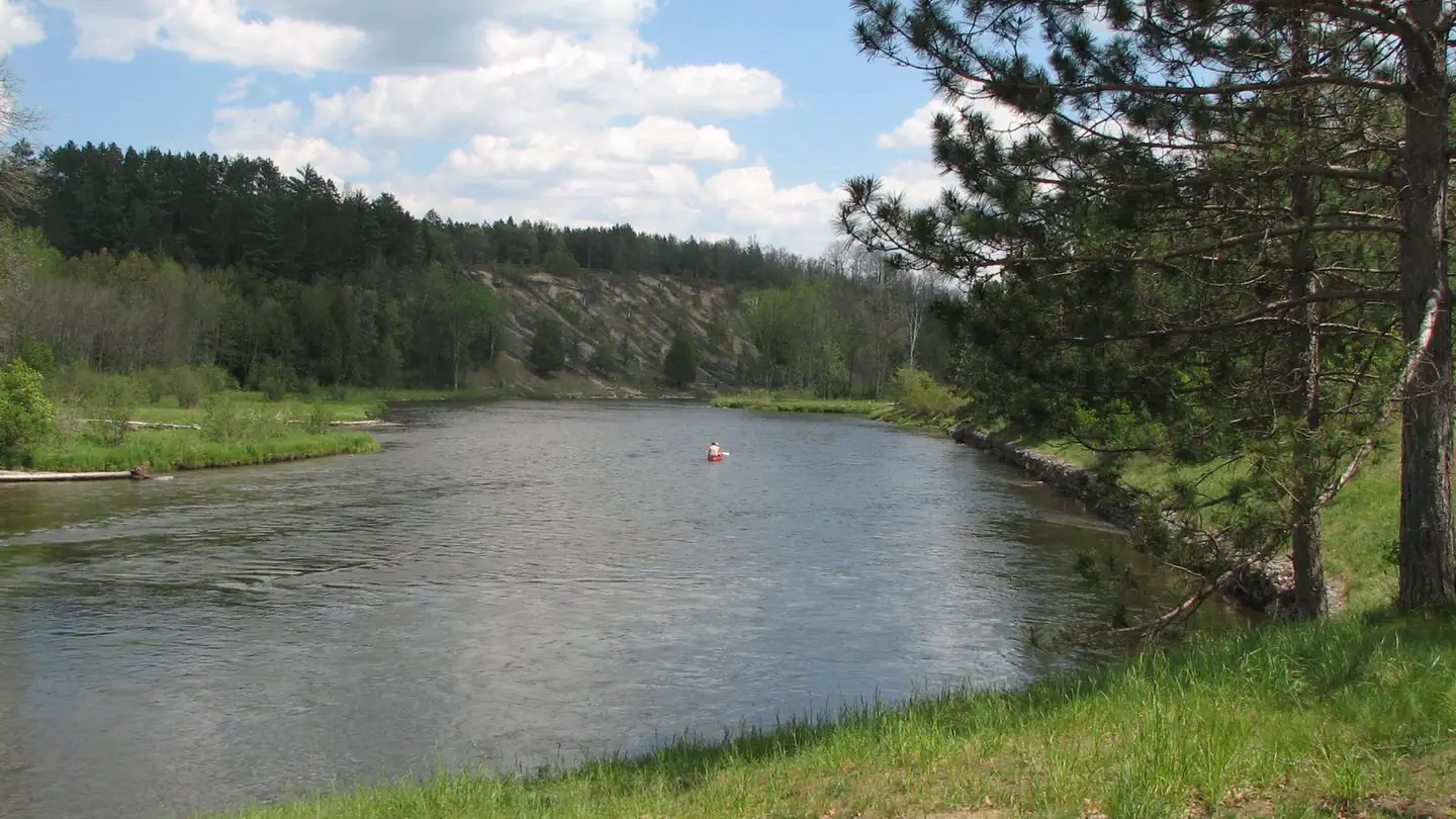
Jewell Lake Campground is located on the east side of the 193-acre Jewell Lake. This lake offers a wide variety of fishing and boating opportunities. A snowmobile trail runs through the area during the winter months.
More like this: first-come in Michigan · tent only in Michigan

Amenities & rules
| Equipment | Tents |
| Fees | Recreation Enhancement Act Fee - Camping - Per Night: $15.00 |
Individual sites vary. Confirm on Recreation.gov or with the managing office.
Season & status
| Status | Closed for the season. Forest Service sites close for the season; check the official page for the reopening date. |
| Season | May 3 to October 31 |
| Forest | Huron-Manistee National Forests |
| Fees | Recreation Enhancement Act Fee - Camping - Per Night: $15.00 |
| Rules | As a visitor to the National Forest, you are asked to follow certain rules designed to protect the Forest, natural resources and to provide for public safety of visitors. These rules are available to you on-line or at any office of the Huron-Manistee National Forests. Please take time to read and understand them. General Topic orders apply across the Forests. |
Weather by month
Getting there
| Coordinates | 44.6775° N, 83.5971° W · Directions ↗ |
Fire nearby
- PrescribedWelcome Lake South Rx
22 mi from the campground · 35 acres
Distance is to the reported incident point, not the fire edge. Call the managing office before you drive.
Supplies & services
| Outdoor gear | Lincoln Outdoors ↗ | 9.1 mi |
| Dump station | Dump station ↗ | 17.1 mi |
| RV sales & service | Sports Unlimited ↗ | 25.1 mi |
Locations © OpenStreetMap contributors. Call ahead; hours change seasonally.
Explore
Video
Camping Russ, gets eaten alive by mosquitoes at Jewell Lake Michigan.
Trails nearby
- 0.2 miJewell Lake Nature Trail0.7 mi trail · hiking, bike
- 1.5 miAlcona ATV Trail ↗29.3 mi trail · hiking, horse, bike, motorcycle and 3 more
- 3.9 miAlcona Smt Barton City Dnr966 ↗20 mi trail · snowmobile, snowshoe, ski
- 4.2 miReid, Parking Lot Spurunder 0.1 mi trail · hiking, snowshoe, ski
- 4.2 miReid Lake Trails ↗10.3 mi trail · hiking, snowshoe, ski
- 4.2 miReid, Overflow Parking Spur0.1 mi trail · hiking, snowshoe, ski
Trail and trailhead records are the Forest Service's. Distances are straight-line to the nearer trail end. Trail conditions are not tracked here.
Public land it sits in
This campground sits inside Huron-Manistee National Forest.
- inHuron-Manistee National Forest ↗National Forest · Forest Service · 2,028,484 acres
Each unit is published as a centre point and an acreage rather than a boundary, so this section stands it in for a circle of the same area. Whether a campground is inside, and how far it is from one it is outside, are both approximate.
Other campgrounds nearby

On the National Register nearby
- Cooke Hydroelectric PlantHistoric district · Oscoda · 14.2 mi
Guidebooks for Michigan
We earn a small commission if you buy through these links. It does not change what we list.
Titles come from Open Library's catalog, matched by subject heading or by title.
Reference
Questions people ask
How much does it cost to camp at Jewell Lake Campground?
Recreation Enhancement Act Fee - Camping - Per Night: $15.00
Source: Forest Service
Is Jewell Lake Campground open right now?
Closed for the season as of Oct 26, 2026. Season May 3 to October 31.
Source: Forest Service status
Can I bring an RV to Jewell Lake Campground?
Jewell Lake Campground is listed for tents only.
Source: Forest Service
What if Jewell Lake Campground is full?
The nearest public campgrounds are Pine River Campground (7.9 mi, first-come), Horseshoe Lake Campground and Boat Launch (9.8 mi, first-come), and Gabions Campground (12.9 mi).
Source: Campgrounds nearby