Aerie Crag Picnic Area and Campground
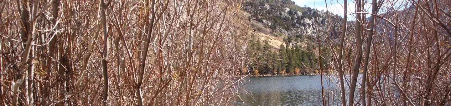
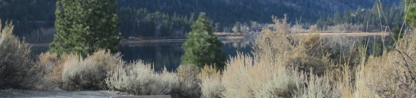
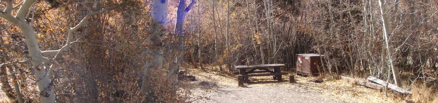
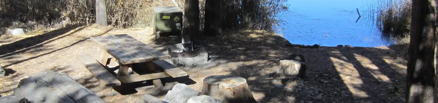
Lakeside picnic area along the Rush Creek on June Lake Loop. When local campgrounds are full this site may be opened as overflow camping for self-contained RV's. 10 sites total, great for emergencies or while waiting for something to come open.
More like this: first-come in California

Amenities & rules
| Hookups | None |
| Equipment | RVs & trailers, Tents |
| Fees | $21.00 per night. |
Individual sites vary. Confirm on Recreation.gov or with the managing office.
Season & status
| Status | Closed for the season. Forest Service sites close for the season; check the official page for the reopening date. |
| Forest | Inyo National Forest |
| Fees | $21.00 per night. |
| Rules | RV's only. No tent camping. No hook ups |
Weather by month
Getting there
| Coordinates | 37.8029° N, 119.1134° W · Directions ↗ |
Fire nearby
- PrescribedThree Creeks Rx/Support Season
9 mi from the campground
- PrescribedProg Bodie Hills Bridgeport Val Rx/Support Season
25 mi from the campground
- PrescribedCy26 Snf Rx Support
43 mi from the campground
Distance is to the reported incident point, not the fire edge. Call the managing office before you drive.
Supplies & services
| Dump station | Dump station ↗ | 2.1 mi |
| Outdoor gear | Mountain Shop & Mountaineering School ↗ | 25.4 mi |
Locations © OpenStreetMap contributors. Call ahead; hours change seasonally.
Explore
Trails nearby
- 1.2 miLower Rush Creek Loop1.8 mi trail · hiking, horse, bike
- 1.5 miSilver Lake Horse1.1 mi trail · hiking, horse, bike
- 1.6 miRush Creek ↗9.4 mi trail · hiking, horse, bike
- 1.6 miParker Bench ↗5.1 mi trail · hiking, horse, bike
- 1.9 miReversed Peak Loop2.1 mi trail · hiking, horse, bike
- 2.6 miGull Lake Fisherman Tr0.2 mi trail · hiking, horse, bike
Trail and trailhead records are the Forest Service's. Distances are straight-line to the nearer trail end. Trail conditions are not tracked here.
Public land it sits in
Owens River Headwaters Wilderness begins about 3.7 miles away, and it is the closest of these.
- 3.7 miOwens River Headwaters Wilderness ↗Wilderness · Forest Service · 14,698 acres
- 4.2 miAnsel Adams Wilderness ↗Wilderness · FS/NPS · 231,619 acres
- 5.3 miYosemite Wilderness ↗Wilderness · National Park Service · 704,624 acres
Each unit is published as a centre point and an acreage rather than a boundary, so this section stands it in for a circle of the same area. Whether a campground is inside, and how far it is from one it is outside, are both approximate.
Other campgrounds nearby
Historic landmarks nearby

Guidebooks for Inyo National Forest and California
We earn a small commission if you buy through these links. It does not change what we list.
Titles come from Open Library's catalog, matched by subject heading or by title.
Reference
Questions people ask
Do I need a reservation at Aerie Crag Picnic Area and Campground?
No. Aerie Crag Picnic Area and Campground is first-come, first-served. Sites are taken on arrival and paid at the fee station.
Source: Forest Service
How much does it cost to camp at Aerie Crag Picnic Area and Campground?
$21.00 per night.
Source: Forest Service
Is Aerie Crag Picnic Area and Campground open right now?
Closed for the season as of Oct 26, 2026.
Source: Forest Service status
How many sites does Aerie Crag Picnic Area and Campground have?
10 sites.
Source: Forest Service
What if Aerie Crag Picnic Area and Campground is full?
The nearest public campgrounds are Silver Lake Campground June Lake (1.5 mi), Oh Ridge (2.1 mi), and June Lake (2.5 mi).
Source: Campgrounds nearby