Marble Creek Recreation Area
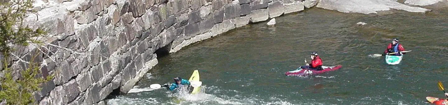
Marble Creek, which travels through the National Forest for about 20 miles, is named for its colorful deposits of dolomite, which was mined and used as "Taum Sauk Marble" many years ago. The mineral dolomite is the main component of the sedimentary rock that is also called dolomite. It is similar to the mineral calcite but contains magnesium as well as calcium. Just based on looks, the rock dolomite is often impossible to distinguish from limestone, which is composed mainly of calcite. Previously, a grist mill operated in the area operated until 1935. Remains of the grist mill dam and building are still visible today.
More like this: first-come in Missouri · tent only in Missouri · accessible sites in Missouri

Amenities & rules
| Equipment | Tents |
| Fees | Campgrounds: Single - $15.00/night. Day Use: $5.00 per vehicle per day. There is a 50% discount for camping for anyone with an Interagency Access or Senior Pass. Interagency passes cover the full day use fees, excluding busses. |
| Accessibility | Restrooms, tables, fire rings, and lantern posts are handicap accessible. All of the sites, except the Creekside sites, are accessible |
Individual sites vary. Confirm on Recreation.gov or with the managing office.
Season & status
| Status | Open |
| Forest | Mark Twain National Forest |
| Fees | Campgrounds: Single - $15.00/night. Day Use: $5.00 per vehicle per day. There is a 50% discount for camping for anyone with an Interagency Access or Senior Pass. Interagency passes cover the full day use fees, excluding busses. |
| Rules | Trash service available April - October only. Horses are allowed at trailhead, but not within campground or picnic area. No motorized vehicles permitted on trail system. No motorized vehicles beyond posted signs. Fireworks are prohibited. Campsite parking allows for two vehicles per site. Park only in designated parking areas. |
Weather by month
Getting there
| Coordinates | 37.4511° N, 90.5408° W · Directions ↗ |
Supplies & services
| Dump station | Dump station ↗ | 13.6 mi |
Locations © OpenStreetMap contributors. Call ahead; hours change seasonally.
Explore
Trails nearby
- 0.1 miOzark Trail - Marble Creek ↗6.8 mi trail · hiking, horse, bike · national_recreation_or_other
Trail and trailhead records are the Forest Service's. Distances are straight-line to the nearer trail end. Trail conditions are not tracked here.
Public land it sits in
Rockpile Mountain Wilderness begins about 5.2 miles away, and it is the closest of these.
- 5.2 miRockpile Mountain Wilderness ↗Wilderness · Forest Service · 4,236 acres
- 12.2 miPilot Knob National Wildlife Refuge ↗National Wildlife Refuge · Fish and Wildlife Service · 96 acres
Each unit is published as a centre point and an acreage rather than a boundary, so this section stands it in for a circle of the same area. Whether a campground is inside, and how far it is from one it is outside, are both approximate.
Other campgrounds nearby
On the National Register nearby
- Iron County Courthouse BuildingsBuilding · Ironton · 11.2 mi
- St. Paul's Episcopal ChurchBuilding · Ironton · 11.3 mi
- Ironton Lodge HallBuilding · Ironton · 11.4 mi
Guidebooks for Missouri
We earn a small commission if you buy through these links. It does not change what we list.
Titles come from Open Library's catalog, matched by subject heading or by title.
Reference
Questions people ask
Do I need a reservation at Marble Creek Recreation Area?
No. Marble Creek Recreation Area is first-come, first-served. Sites are taken on arrival and paid at the fee station.
Source: Forest Service
How much does it cost to camp at Marble Creek Recreation Area?
Campgrounds: Single - $15.00/night. Day Use: $5.00 per vehicle per day. There is a 50% discount for camping for anyone with an Interagency Access or Senior Pass.
Source: Forest Service
Is Marble Creek Recreation Area open right now?
Open as of Oct 26, 2026.
Source: Forest Service status
Can I bring an RV to Marble Creek Recreation Area?
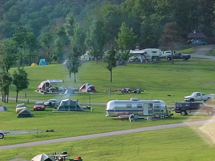
Marble Creek Recreation Area is listed for tents only.
Source: Forest Service
Are there accessible sites at Marble Creek Recreation Area?
Restrooms, tables, fire rings, and lantern posts are handicap accessible. All of the sites, except the Creekside sites, are accessible.
Source: Forest Service
What if Marble Creek Recreation Area is full?
The nearest public campgrounds are Silver Mines (9 mi, partly first-come), Highway K (15.2 mi), and Bluff View (23.1 mi).
Source: Campgrounds nearby