Shiefer Campground
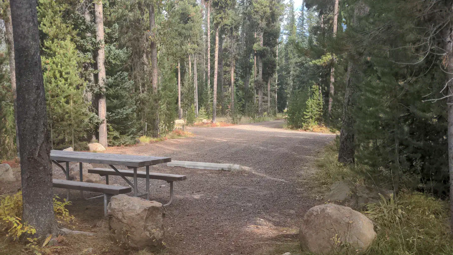
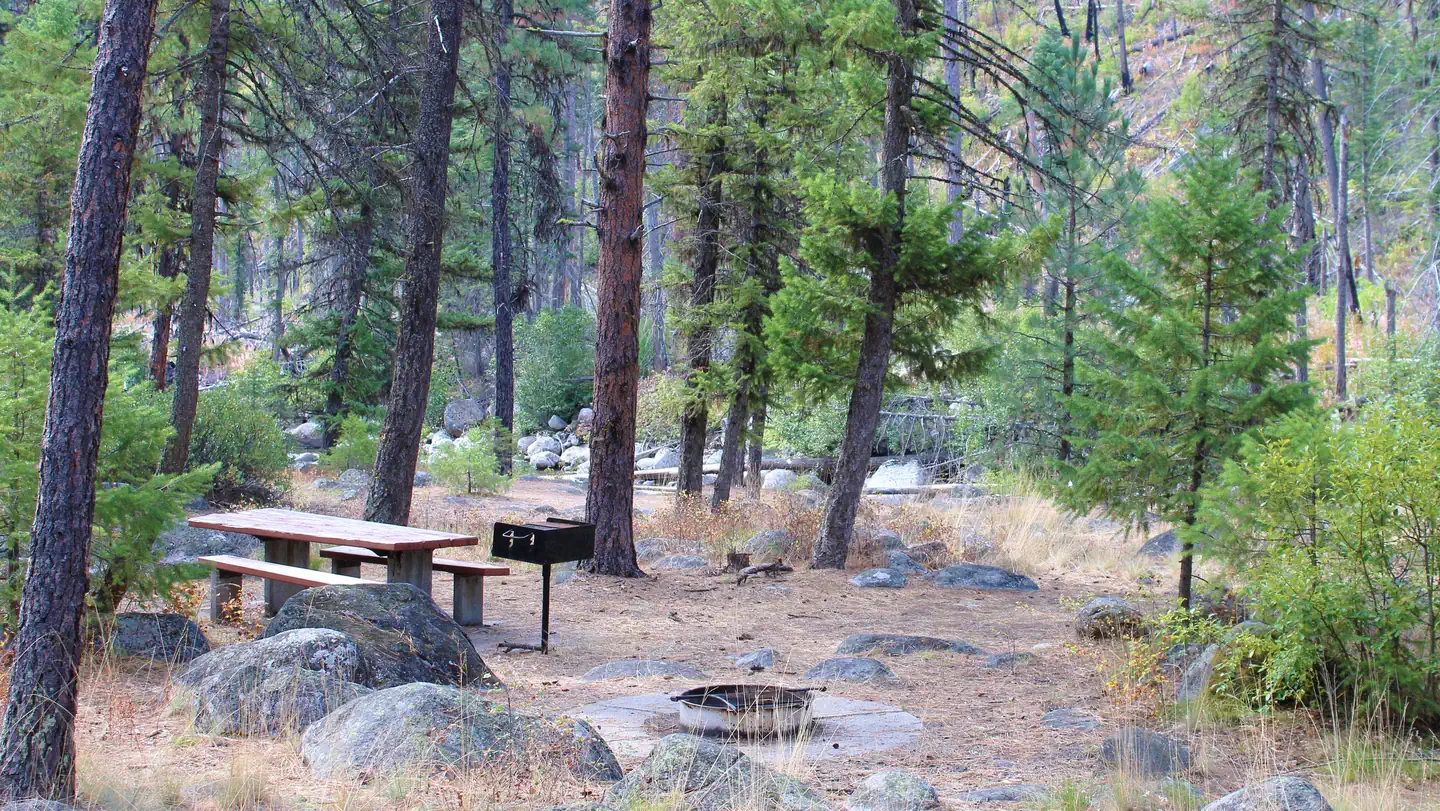
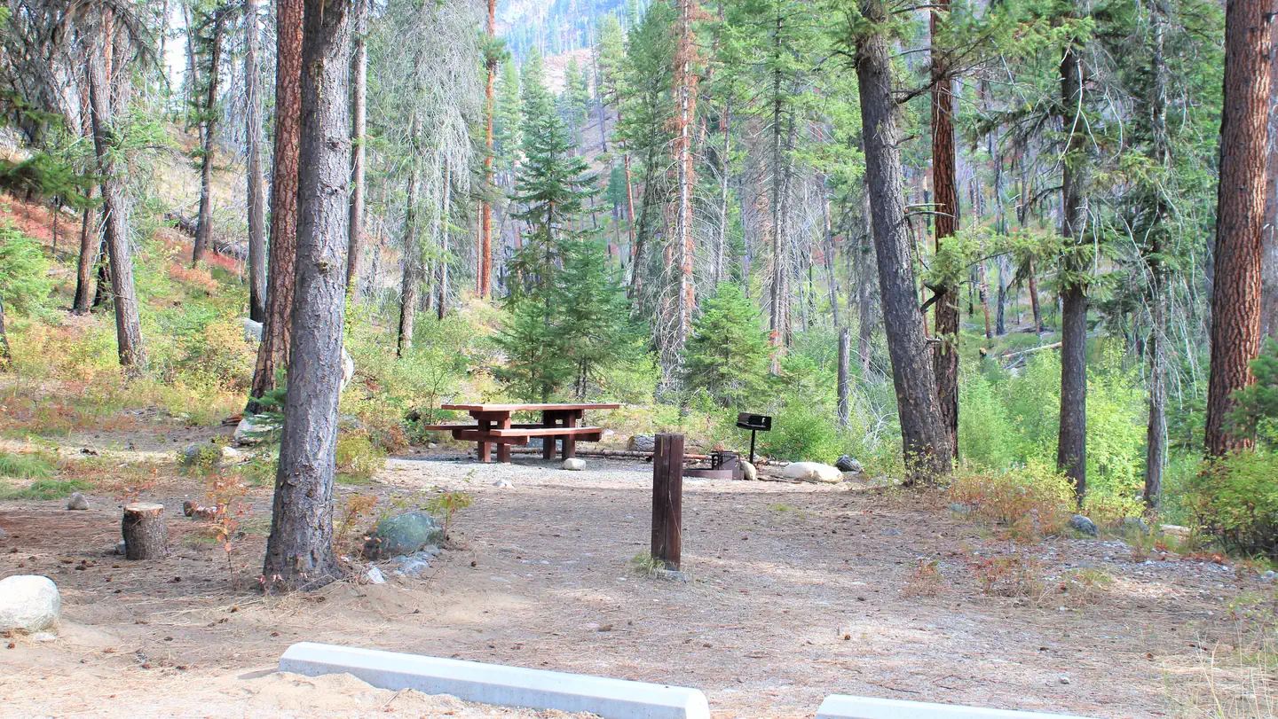
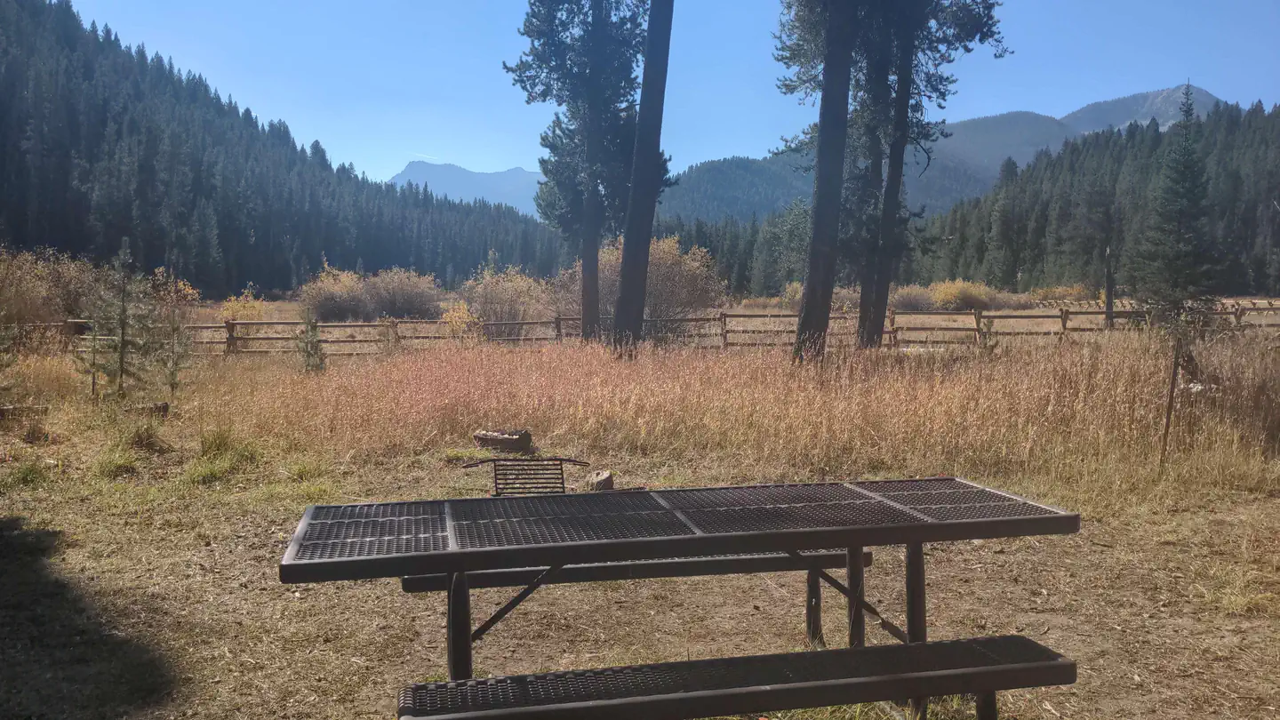
Shiefer Campground is an undeveloped site on the Salmon River with views of the South Fork canyon country all around. Elevation 3050 feet. Trails lead along the river into the Frank Church River of No Return Wilderness. A shorter trail leads to Pilot Peak lookout. Please pack out your trash. This campground takes several hours to reach by car from McCall and is not serviced on a regular basis.
More like this: first-come in Idaho · free in Idaho · tent only in Idaho

Amenities & rules
| Equipment | Tents |
| Fees | No fee |
Individual sites vary. Confirm on Recreation.gov or with the managing office.
Season & status
| Forest | Payette National Forest |
| Booking | Sites are not reservable. |
| Fees | No fee |
Weather by month
Getting there
| Coordinates | 45.1746° N, 115.5795° W · Directions ↗ |
Fire nearby
- PrescribedMeadow Marsh Rx
29 mi from the campground · 70 acres
- PrescribedGoose Rx
34 mi from the campground · 529 acres
- PrescribedBrush Rx
39 mi from the campground · 645 acres
- PrescribedMill Creek Council Mtn Rx
43 mi from the campground · 2,070 acres
Distance is to the reported incident point, not the fire edge. Call the managing office before you drive.
Explore
Trails nearby
- 1.7 miS/F Salmon River ↗23.1 mi trail · hiking, horse, bike, motorcycle and 1 more
- 1.8 miS/F Salmon River East ↗15.3 mi trail · hiking, horse, bike, motorcycle and 1 more
- 2.8 miRattlesnake Peak ↗16.7 mi trail · hiking, horse, bike
- 4 miWest Fork Elk Creek3.5 mi trail · hiking, horse, bike
- 4.4 miSouth Fork Elk Creek4.2 mi trail · hiking, horse, bike
- 4.6 miMiddle Fork Elk Creek2.9 mi trail · hiking, horse, bike
Trail and trailhead records are the Forest Service's. Distances are straight-line to the nearer trail end. Trail conditions are not tracked here.
Public land it sits in
This campground sits inside Frank Church-River of No Return Wilderness, which overlaps Payette National Forest.
- inFrank Church-River of No Return Wilderness ↗Wilderness · BLM/FS · 2,358,886 acres
- inPayette National Forest ↗National Forest · Forest Service · 2,407,306 acres
- 9.9 miSalmon-Challis National Forest ↗National Forest · Forest Service · 4,396,382 acres
Each unit is published as a centre point and an acreage rather than a boundary, so this section stands it in for a circle of the same area. Whether a campground is inside, and how far it is from one it is outside, are both approximate.
Other campgrounds nearby
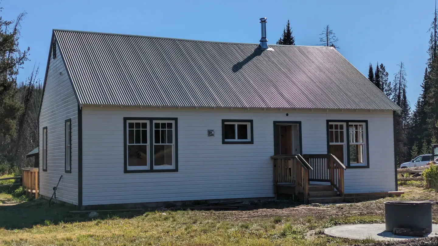
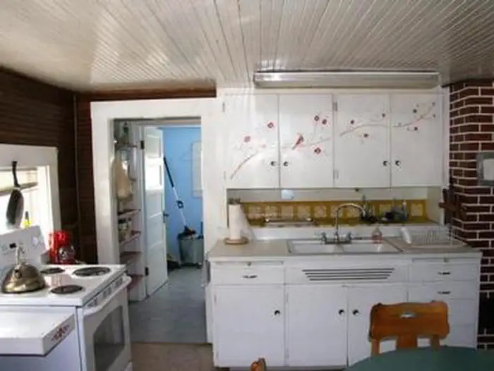
Cabin and lookout rentals nearby
On the National Register nearby
- Chi-Sandra GardenSite · Warren · 2.8 mi
- Celadon Slope GardenSite · Warren · 2.9 mi
- Ah Toy GardenSite · Warren · 3 mi
Guidebooks for Idaho
We earn a small commission if you buy through these links. It does not change what we list.
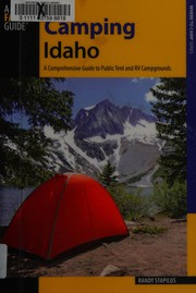
Titles come from Open Library's catalog, matched by subject heading or by title.
Reference
Questions people ask
Do I need a reservation at Shiefer Campground?
No. Shiefer Campground is first-come, first-served. Sites are not reservable. Sites are taken on arrival and paid at the fee station.
Source: Forest Service
How much does it cost to camp at Shiefer Campground?
Nothing. Shiefer Campground is listed as free. No fee
Source: Forest Service
Can I bring an RV to Shiefer Campground?
Shiefer Campground is listed for tents only.
Source: Forest Service
What if Shiefer Campground is full?
The nearest public campgrounds are Chinook (11.5 mi, first-come), Ponderosa (11.7 mi, first-come), and Secesh Campground (11.7 mi, first-come).
Source: Campgrounds nearby