Mix Lake Campground
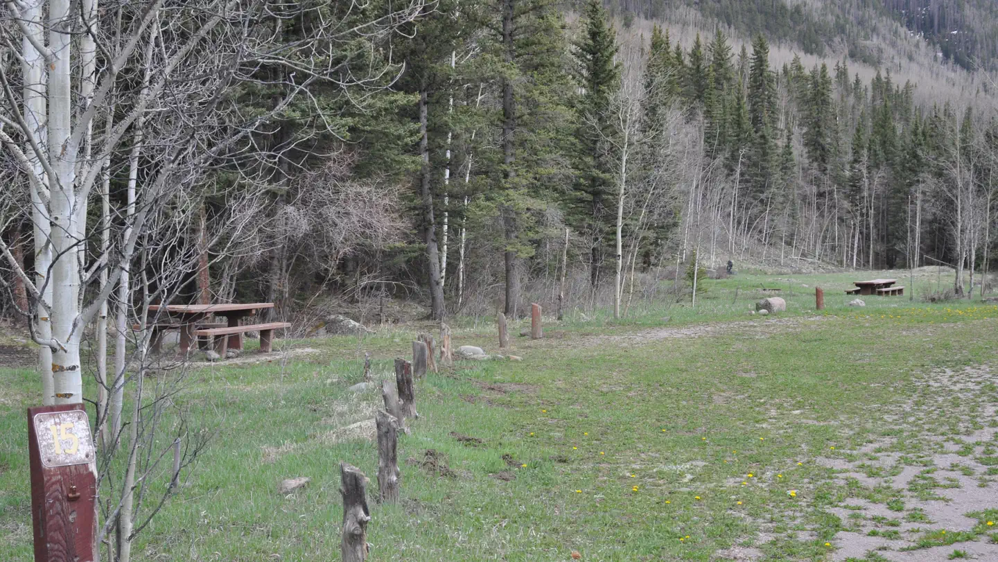
10,000-foot elevation. 22 campsites near Mix Lake. Convenient to the Conejos River, the San Juan Wilderness, Platoro Reservoir, and other nearby ponds and lakes. Numerous trailheads in the area. Mix Lake Campground is one mile west of Platoro in the Conejos River drainage. This is a good access point for the South San Juan Wilderness. Mix Lake, Platoro Reservoir, Conejos River, Lily Pond and Kerr Lake can all be accessed for fishing. Trail accesses include Lake Fork Trail 716 and Sawmill Gulch Trail. One can also visit the historic town of Platoro and the Mix Lake overlook is on-site. The campground has 22 sites with tables and fireplaces.
More like this: first-come in Colorado · tent only in Colorado

Amenities & rules
| Equipment | Tents |
| Fees | Single site - $26 to $30/night. $12 for day use (picnicking). Fee envelopes and a collection box are provided near the entrance. |
Individual sites vary. Confirm on Recreation.gov or with the managing office.
Season & status
| Status | Closed for the season. Forest Service sites close for the season; check the official page for the reopening date. |
| Forest | Rio Grande National Forest |
| Fees | Single site - $26 to $30/night. $12 for day use (picnicking). Fee envelopes and a collection box are provided near the entrance. |
| Rules | There is private land in the area, secure permission before entering. |
Weather by month
Getting there
| Coordinates | 37.3578° N, 106.5427° W · Directions ↗ |
Supplies & services
| RV sales & service | RV sales & service ↗ | 22.1 mi |
| Dump station | Dump station ↗ | 28.7 mi |
| Outdoor gear | Kristi's Mountain Sports ↗ | 36.2 mi |
Locations © OpenStreetMap contributors. Call ahead; hours change seasonally.
Explore
Worth a stop
- 2.4 miKerr Lake Fishing Site ↗Fishing site
- 4 miAdams Fork Trailhead, Trail 713 ↗Trailhead
- 5.1 miThree Forks Trailhead 712 ↗Trailhead
- 14.2 mi
- 14.3 miSpectacle Lake Fishing Site ↗Fishing site
Trails nearby
- 0.7 miSawmill Gulch2 mi trail · hiking, horse, bike, motorcycle and 1 more
- 2.3 miSaddle Creek ↗4.9 mi trail · hiking, horse, bike, motorcycle and 1 more
- 3.5 miTobacco Lake ↗5.7 mi trail · hiking, horse, bike
- 4 miAdams Fork ↗6.6 mi trail · hiking, horse, bike
- 4.3 miCanon Rincon ↗8.3 mi trail · hiking, horse
- 4.9 miLake Fork ↗15.8 mi trail · hiking, horse, bike, motorcycle and 1 more
Trail and trailhead records are the Forest Service's. Distances are straight-line to the nearer trail end. Trail conditions are not tracked here.
Public land it sits in
This campground sits inside Rio Grande National Forest.
- inRio Grande National Forest ↗National Forest · Forest Service · 1,937,280 acres
- 0.4 miSouth San Juan Wilderness ↗Wilderness · Forest Service · 160,997 acres
Each unit is published as a centre point and an acreage rather than a boundary, so this section stands it in for a circle of the same area. Whether a campground is inside, and how far it is from one it is outside, are both approximate.
Other campgrounds nearby



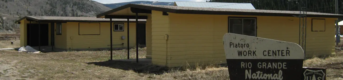
Cabin and lookout rentals nearby


Guidebooks for Colorado
We earn a small commission if you buy through these links. It does not change what we list.
Titles come from Open Library's catalog, matched by subject heading or by title.
Reference
Questions people ask
How much does it cost to camp at Mix Lake Campground?
Single site - $26 to $30/night. $12 for day use (picnicking). Fee envelopes and a collection box are provided near the entrance.
Source: Forest Service
Is Mix Lake Campground open right now?
Closed for the season as of Oct 26, 2026.
Source: Forest Service status
How many sites does Mix Lake Campground have?
22 sites.
Source: Forest Service
Can I bring an RV to Mix Lake Campground?
Mix Lake Campground is listed for tents only.
Source: Forest Service
What if Mix Lake Campground is full?
The nearest public campgrounds are Stunner Campground (2.2 mi, first-come), Lake Fork(Rio Grande Natl Fore (5.8 mi), and Alamosa Campground (11 mi, first-come).
Source: Campgrounds nearby