Kelsay Valley Campground / Trailhead
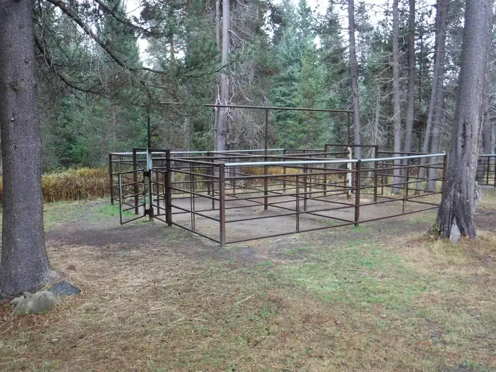
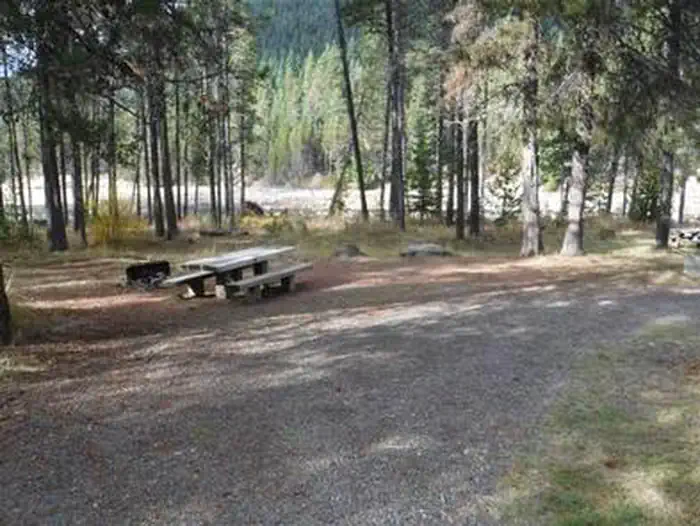
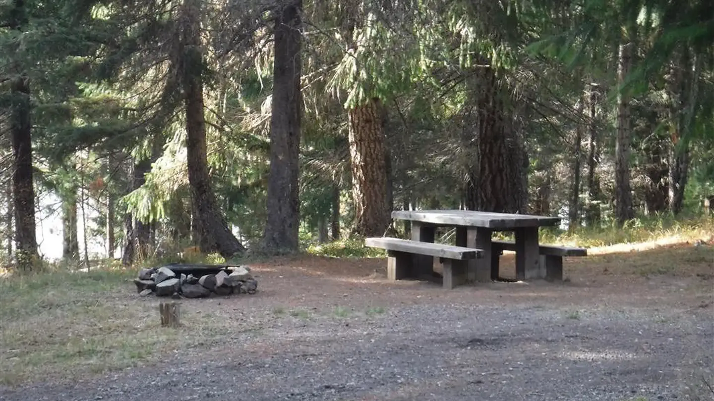
Reservations can be made through Kelsay Valley Horse Camp, Umpqua National Forest - Recreation.gov This campground and trailhead is located along the Wild and Scenic North Umpqua River where it rushes through a lush high Cascade meadow. Spring arrives late in the high country and it is welcomed here with an explosion of colors. Purples, reds, yellows, greens, and white are arranged in a riotous bouquet. This site is designed to accommodate pack and saddle use as well as standard camping. This site provides access to Porcupine Connect Trail 1412A, which connects to the North Umpqua Trail 1414 and Windigo Pass Trail 1412.
More like this: reservable in Oregon · tent only in Oregon
Check availability on Recreation.gov ↗
Amenities & rules
| Equipment | Tents |
| Fees | $10 for campsite. $5 for extra vehicle |
Individual sites vary. Confirm on Recreation.gov or with the managing office.
Season & status
| Status | Temporarily closed |
| Forest | Umpqua National Forest |
| Fees | $10 for campsite. $5 for extra vehicle |
| Rules | Quiet hours between 10 p.m. and 6 a.m. Campfires in developed fire pits only. Fireworks are prohibited. Dogs must be on leash. OHV/ATV use prohibited in the campground. Maximum length of stay: 14 days. Wilderness restrictions apply within Mt. Thielsen Wilderness. |
Weather by month
Getting there
| Coordinates | 43.3182° N, 122.0961° W · Directions ↗ |
Fire nearby
- PrescribedRx Cold Springs
10 mi from the campground · 158 acres
- PrescribedSting 6 Rx
13 mi from the campground · 42 acres
- PrescribedRabbit 42 Rx
14 mi from the campground
- PrescribedMf Rx Piles
39 mi from the campground
Distance is to the reported incident point, not the fire edge. Call the managing office before you drive.
Supplies & services
| Dump station | Mazama Campground Dump Station ↗ | 31.4 mi |
Locations © OpenStreetMap contributors. Call ahead; hours change seasonally.
Explore
Worth a stop
- 5.5 miLemolo Lake Trailhead ↗Trailhead
- 10.7 miTandy Bay Picnic Area ↗Day use
- 14.1 miCrescent Lake Boat Launch ↗Boat launch
- 14.2 miSimax Beach Picnic Area ↗Day use
Trails nearby
- under 0.1 miWindigo Pass ↗6 mi trail · hiking, horse, bike
- 0.2 miPorcupine Connection0.2 mi trail · hiking, horse, bike
- 1 miCalamut Way4 mi trail · hiking, horse, bike, motorcycle and 2 more
- 1.1 miTenas Peak4 mi trail · hiking, horse, bike
- 1.1 miKelsay Mtn. Loop Snomo ↗12.2 mi trail · snowshoe, ski
- 1.5 miNfst-60006201 mi trail · hiking, horse, bike, motorcycle and 3 more
Trailheads within three miles
- under 0.1 miKelsay Valley Campground / Trailhead ↗Umpqua National Forest
Trail and trailhead records are the Forest Service's. Distances are straight-line to the nearer trail end. Trail conditions are not tracked here.
Public land it sits in
Umpqua National Forest begins about 3 miles away, and it is the closest of these.
- 3 miUmpqua National Forest ↗National Forest · Forest Service · 1,035,837 acres
- 3.2 miMount Thielsen Wilderness ↗Wilderness · Forest Service · 55,127 acres
- 9.6 miDiamond Peak Wilderness ↗Wilderness · Forest Service · 52,496 acres
Each unit is published as a centre point and an acreage rather than a boundary, so this section stands it in for a circle of the same area. Whether a campground is inside, and how far it is from one it is outside, are both approximate.
Other campgrounds nearby
Cabin and lookout rentals nearby
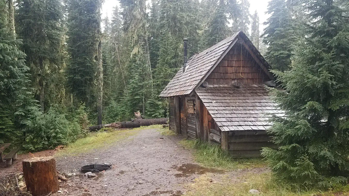
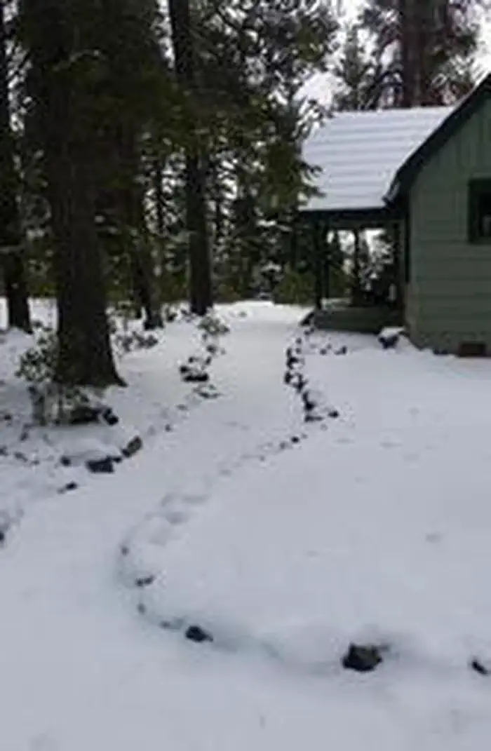
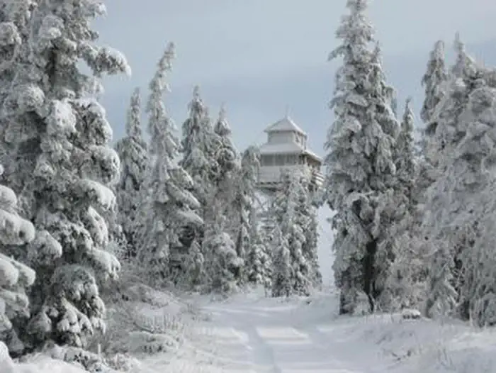
Guidebooks for Oregon
We earn a small commission if you buy through these links. It does not change what we list.
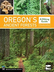
Titles come from Open Library's catalog, matched by subject heading or by title.
Reference
Questions people ask
Do I need a reservation at Kelsay Valley Campground / Trailhead?
Sites at Kelsay Valley Campground / Trailhead are reservable on Recreation.gov. Any walk-up sites are listed on the booking page.
Source: Recreation.gov
How much does it cost to camp at Kelsay Valley Campground / Trailhead?
$10 for campsite. $5 for extra vehicle
Source: Recreation.gov
Is Kelsay Valley Campground / Trailhead open right now?
Temporarily closed as of Oct 26, 2026.
Source: Forest Service status
Can I bring an RV to Kelsay Valley Campground / Trailhead?
Kelsay Valley Campground / Trailhead is listed for tents only.
Source: Recreation.gov
What if Kelsay Valley Campground / Trailhead is full?
The nearest public campgrounds are Kelsay Valley Horse Camp (under 0.1 mi), Inlet Campground (3 mi), and East Lemolo Campground (3.4 mi).
Source: Campgrounds nearby