Highland Scenic Highway
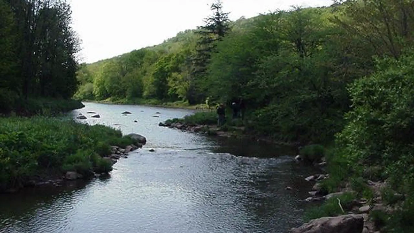
The Highland Scenic Highway is a designated National Scenic Byway that extends 43 miles from Richwood to US Route 219, north of Marlinton. Four scenic overlooks provide a comfortable rest stop, with panoramic views of the surrounding mountains and valleys. The Highway traverses the mountainous terrain of the Allegheny Highlands and Plateau, and rises from 2,325 feet near Richwood to more than 4,500 feet. The Highway is a paved two-lane road, designated as State Routes 39 and 150. Route 150 is a 23-mile Parkway section that is not maintained in the winter. Winter travel on the road may be treacherous, the road is often impassible during winter storms.
More like this: first-come in West Virginia · tent only in West Virginia

Amenities & rules
| Equipment | Tents |
Individual sites vary. Confirm on Recreation.gov or with the managing office.
Season & status
| Status | Open |
| Forest | Monongahela National Forest |
| Rules | Speed limits are 55 mph for the State Route 39/55 section and 45 mph for the Parkway section. Commercial truck traffic is not allowed on the Parkway. |
Weather by month
Getting there
| Coordinates | 38.3066° N, 80.0961° W · Directions ↗ |
Supplies & services
| Outdoor gear | Appalachian Sport ↗ | 5.6 mi |
| Dump station | Dump station ↗ | 31.5 mi |
| RV sales & service | MT Joy RV ↗ | 58.8 mi |
Locations © OpenStreetMap contributors. Call ahead; hours change seasonally.
Explore
Trails nearby
- 3.4 miRed Spruce Knob Trail # 4511.2 mi trail · hiking, horse, bike
- 4.1 miGauley Mountain Trail # 438 ↗5.1 mi trail · hiking, horse, bike
- 4.2 miRight Fork Connector Trail #0.6 mi trail · hiking, horse, bike
- 4.5 miTea Creek Mountain Trail # 452 ↗4.5 mi trail · hiking, horse, bike
Trail and trailhead records are the Forest Service's. Distances are straight-line to the nearer trail end. Trail conditions are not tracked here.
Public land it sits in
This campground sits inside Monongahela National Forest.
- inMonongahela National Forest ↗National Forest · Forest Service · 1,703,725 acres
- 0.5 miGeorge Washington and Jefferson National Forest ↗National Forest · Forest Service · 3,487,961 acres
- 6.9 miCranberry Wilderness ↗Wilderness · Forest Service · 47,742 acres
Each unit is published as a centre point and an acreage rather than a boundary, so this section stands it in for a circle of the same area. Whether a campground is inside, and how far it is from one it is outside, are both approximate.
Other campgrounds nearby


Historic landmarks nearby

Guidebooks for Monongahela National Forest and West Virginia
We earn a small commission if you buy through these links. It does not change what we list.
- Five-Star Trails: West Virginia's Monongahela National ForestJohnny Molloy, 2022Find at Bookshop.org
Titles come from Open Library's catalog, matched by subject heading or by title.
Reference
Questions people ask
Is Highland Scenic Highway open right now?
Open as of Oct 26, 2026.
Source: Forest Service status
Can I bring an RV to Highland Scenic Highway?
Highland Scenic Highway is listed for tents only.
Source: Forest Service
What if Highland Scenic Highway is full?
The nearest public campgrounds are Day Run Campground (6.4 mi), Tea Creek Campground (7.8 mi), and Cranberry Glades Botanical Area (11.7 mi, first-come).
Source: Campgrounds nearby