Cranberry Glades Botanical Area
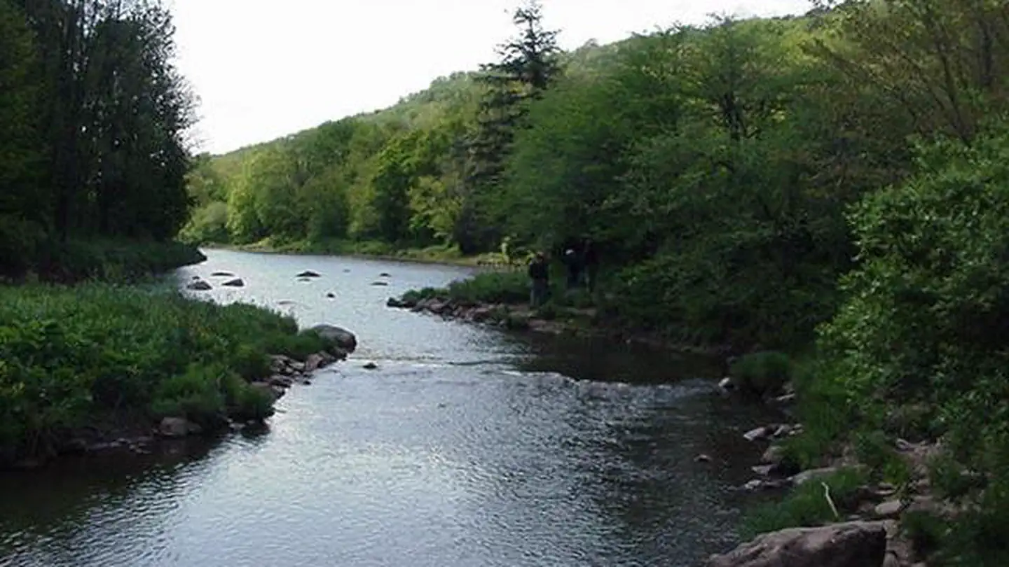
The Cranberry Glades Botanical Area protects the largest area of bogs in West Virginia. Bogs are acidic wetlands more commonly found in the northern areas of this country and in Canada. The ground in a bog is spongy and consists largely of partially-decayed plant material known as peat. Because of its unique conditions, some unusual plants grow in bogs, including carnivorous or insect-eating plants. The Botanical Area encompasses 750 acres.
More like this: first-come in West Virginia · tent only in West Virginia · accessible sites in West Virginia

Amenities & rules
| Equipment | Tents |
| Dark sky | 9.2 miles from Watoga State Park, a certified International Dark Sky Park |
| Accessibility | The boardwalk for this area is wheelchair accessible |
Individual sites vary. Confirm on Recreation.gov or with the managing office.
Season & status
| Status | Open |
| Forest | Monongahela National Forest |
Weather by month
Getting there
| Coordinates | 38.2031° N, 80.2658° W · Directions ↗ |
Fire nearby
- PrescribedArrowhead Trails Rx
45 mi from the campground · 195 acres
Distance is to the reported incident point, not the fire edge. Call the managing office before you drive.
Supplies & services
| Outdoor gear | Appalachian Sport ↗ | 9.3 mi |
| Dump station | Dump station ↗ | 32.3 mi |
| RV sales & service | MT Joy RV ↗ | 56.6 mi |
Locations © OpenStreetMap contributors. Call ahead; hours change seasonally.
Explore
Video
Summit Lake Campground and Cranberry Glades
Trails nearby
- 0.6 miThomas Reserve Trail0.9 mi trail · hiking, horse, bike
- 0.6 miCowpasture Trail2.9 mi trail · hiking, horse, bike
- 0.6 miCranberry Glades Boardwalk ↗0.5 mi trail · hiking
- 0.9 miSouth Fork Trail ↗5.1 mi trail · hiking, horse, bike
- 1.2 miCharles Creek Trail1.1 mi trail · hiking, horse, bike
- 1.5 miBruffey Reserve Trail1.1 mi trail · hiking, horse, bike
Trail and trailhead records are the Forest Service's. Distances are straight-line to the nearer trail end. Trail conditions are not tracked here.
Public land it sits in
This campground sits inside George Washington and Jefferson National Forest.
- inGeorge Washington and Jefferson National Forest ↗National Forest · Forest Service · 3,487,961 acres
- 2 miCranberry Wilderness ↗Wilderness · Forest Service · 47,742 acres
- 2.5 miMonongahela National Forest ↗National Forest · Forest Service · 1,703,725 acres
Each unit is published as a centre point and an acreage rather than a boundary, so this section stands it in for a circle of the same area. Whether a campground is inside, and how far it is from one it is outside, are both approximate.
Other campgrounds nearby



Cabin and lookout rentals nearby
On the National Register nearby
- Pearl Buck HouseBuilding · Hillsboro · 5.4 mi
- Seebert Lane Colored SchoolBuilding · Seebert · 5.4 mi
- McNeel MillBuilding · Mill Point · 5.6 mi
Guidebooks for Monongahela National Forest and West Virginia
We earn a small commission if you buy through these links. It does not change what we list.
- Five-Star Trails: West Virginia's Monongahela National ForestJohnny Molloy, 2022Find at Bookshop.org
Titles come from Open Library's catalog, matched by subject heading or by title.
Reference
Questions people ask
Is Cranberry Glades Botanical Area open right now?
Open as of Oct 26, 2026.
Source: Forest Service status
Can I bring an RV to Cranberry Glades Botanical Area?
Cranberry Glades Botanical Area is listed for tents only.
Source: Forest Service
Are there accessible sites at Cranberry Glades Botanical Area?
The boardwalk for this area is wheelchair accessible.
Source: Forest Service
Is Cranberry Glades Botanical Area good for stargazing?
Watoga State Park, a certified International Dark Sky Park, is 9.2 miles away. Skies that dark carry for miles; a moonless night here should show the Milky Way.
Source: DarkSky International
What if Cranberry Glades Botanical Area is full?
The nearest public campgrounds are Tea Creek Campground (9.9 mi), Day Run Campground (10.1 mi), and Summit Lake Campground (10.2 mi).
Source: Campgrounds nearby