Corn Creek Boat Ramp & Campground
2900-foot elevation. 18 campsites on the Salmon River. Put-in for floating the Salmon Wild & Scenic River, Class III-IV rapids. Hiking and horse riding trail from campground loops south to Butt Creek Point, then north to Horse Creek Campground, also on the Salmon. Fishing in the river for cutthroat and rainbow trout, steelhead and whitefish. Picnic facilities are accessible. Boat ramp used by jet boaters and river floaters.
More like this: first-come in Idaho · tent only in Idaho

Amenities & rules
| Equipment | Tents |
| Fees | $10 per night fee is charged for overnight use of the site. |
Individual sites vary. Confirm on Recreation.gov or with the managing office.
Season & status
| Season | 3/1 |
| Forest | Salmon-Challis National Forest |
| Fees | $10 per night fee is charged for overnight use of the site. |
Weather by month
Getting there
| Coordinates | 45.3692° N, 114.6841° W · Directions ↗ |
Fire nearby
- PrescribedRx D4 West Fork Hand Piles South
22 mi from the campground
- PrescribedRx D4 Wilderness Corridor Hand Piles
23 mi from the campground
- PrescribedRx D4 Hughes Creek
26 mi from the campground · 200 acres
- PrescribedScf Nz Pile Burn Rx
35 mi from the campground · 223 acres
Distance is to the reported incident point, not the fire edge. Call the managing office before you drive.
Explore
Video
Main Salmon rafting trip from Corn Creek to Carey Creek, August 2024
Worth a stop
- 4.2 miCache Bar Boat Ramp ↗Boat launch
- 6.5 miStoddard Trailhead ↗Trailhead
- 6.9 miLong Tom Picnic Area ↗Day use
Trails nearby
- 0.2 miLower Salmon River ↗11.5 mi trail · hiking, horse
- 0.3 miButts Point ↗7.3 mi trail · hiking, horse
- 2.4 miBear Basin3 mi trail · hiking, horse, bike
- 3.1 miSquare Top-West Horse ↗33.4 mi trail · hiking, horse
- 3.1 miCottonwood Butte ↗25.9 mi trail · hiking, horse
- 3.1 miSalmon River ↗9.6 mi trail · hiking, horse
Trail and trailhead records are the Forest Service's. Distances are straight-line to the nearer trail end. Trail conditions are not tracked here.
Public land it sits in
This campground sits inside Frank Church-River of No Return Wilderness, which overlaps Salmon-Challis National Forest.
- inFrank Church-River of No Return Wilderness ↗Wilderness · BLM/FS · 2,358,886 acres
- inSalmon-Challis National Forest ↗National Forest · Forest Service · 4,396,382 acres
- 14.4 miBitterroot National Forest ↗National Forest · Forest Service · 1,664,512 acres
Each unit is published as a centre point and an acreage rather than a boundary, so this section stands it in for a circle of the same area. Whether a campground is inside, and how far it is from one it is outside, are both approximate.
Other campgrounds nearby

Cabin and lookout rentals nearby
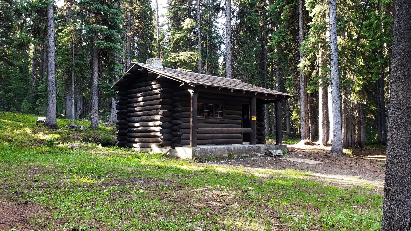
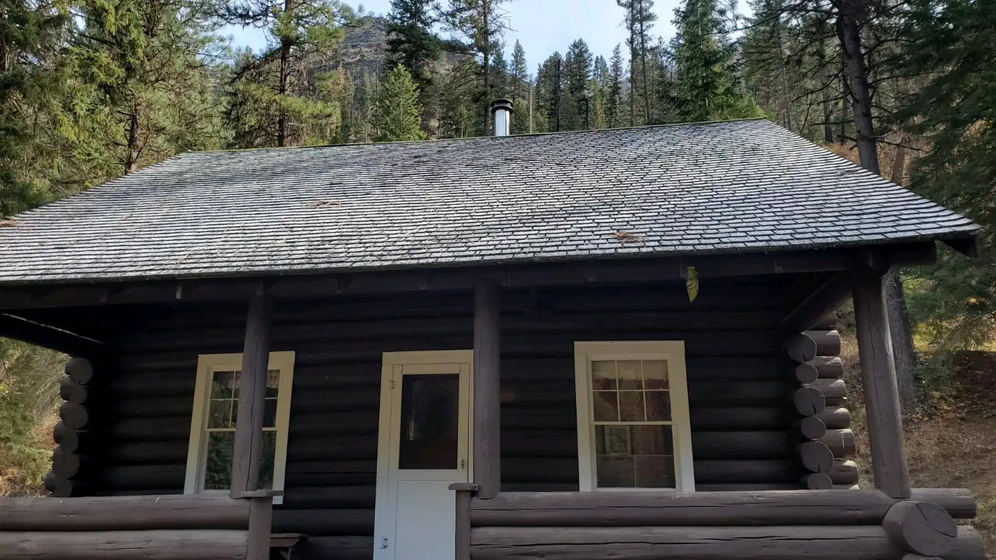
On the National Register nearby
- Butts Point Creek Fire LookoutBuilding · Salmon · 2.6 mi
- Cold Meadows Guard StationHistoric district · McCall · 13.8 mi
Guidebooks for Idaho
We earn a small commission if you buy through these links. It does not change what we list.
Titles come from Open Library's catalog, matched by subject heading or by title.
Reference
Questions people ask
How much does it cost to camp at Corn Creek Boat Ramp & Campground?
$10 per night fee is charged for overnight use of the site.
Source: Forest Service
How many sites does Corn Creek Boat Ramp & Campground have?
18 sites.
Source: Forest Service
Can I bring an RV to Corn Creek Boat Ramp & Campground?
Corn Creek Boat Ramp & Campground is listed for tents only.
Source: Forest Service
What if Corn Creek Boat Ramp & Campground is full?
The nearest public campgrounds are Ebenezer Campground (9.3 mi, first-come), Wendover Campground (10.8 mi, first-come), and Horse Creek Hot Spring & Campground (14.3 mi, first-come).
Source: Campgrounds nearby