Horse Creek Hot Spring & Campground
6200-foot elevation. Disperse camping near the border of the Frank Church River of No Return Wilderness and Montana's Bitterroot National Forest - restroom facilites, but no picnic tables or fire-rings. Trout fishing in Woods Creek. No trailheads from campground, but a number of trails branch in all directions from the trailhead 4 miles west on Forest Road 065.
More like this: first-come in Idaho · tent only in Idaho

Amenities & rules
| Equipment | Tents |
Individual sites vary. Confirm on Recreation.gov or with the managing office.
Season & status
| Forest | Salmon-Challis National Forest |
Weather by month
Getting there
| Coordinates | 45.5039° N, 114.4600° W · Directions ↗ |
Fire nearby
- PrescribedRx D4 West Fork Hand Piles South
8 mi from the campground
- PrescribedRx D4 Hughes Creek
12 mi from the campground · 200 acres
- PrescribedRx D4 Wilderness Corridor Hand Piles
18 mi from the campground
- PrescribedRx D4 Piquett Creek
27 mi from the campground · 2,210 acres
Distance is to the reported incident point, not the fire edge. Call the managing office before you drive.
Supplies & services
| RV sales & service | Hamilton RV Sales Of Montana ↗ | 55 mi |
Locations © OpenStreetMap contributors. Call ahead; hours change seasonally.
No site-by-site records, no fee schedule, no directions or photos in the Recreation.gov record. What is here comes from the agency's own listing. The rest lives there.
Checked nightly. Modules appear as soon as the record fills in.
Explore
Video
Horse Creek Campground Aerial View w/ Site reference [Feb 2026]
Worth a stop
- 5.5 miReynolds Trailhead ↗Trailhead
Trails nearby
- 2.7 miStud Creek4.1 mi trail · hiking, horse, bike
- 2.8 miDeer Creek Point3.3 mi trail
- 3.8 miReynolds Creek ↗6.3 mi trail · hiking, horse
- 3.8 miHorse Creek ↗14.6 mi trail · hiking, horse
- 4.1 miRazorback Ridge ↗15.1 mi trail
- 4.2 miOwl Creek ↗15.9 mi trail · hiking, horse, bike
Trail and trailhead records are the Forest Service's. Distances are straight-line to the nearer trail end. Trail conditions are not tracked here.
Public land it sits in
This campground sits inside Salmon-Challis National Forest.
- inSalmon-Challis National Forest ↗National Forest · Forest Service · 4,396,382 acres
- 1.8 miBitterroot National Forest ↗National Forest · Forest Service · 1,664,512 acres
- 4.7 miFrank Church-River of No Return Wilderness ↗Wilderness · BLM/FS · 2,358,886 acres
Each unit is published as a centre point and an acreage rather than a boundary, so this section stands it in for a circle of the same area. Whether a campground is inside, and how far it is from one it is outside, are both approximate.
Other campgrounds nearby


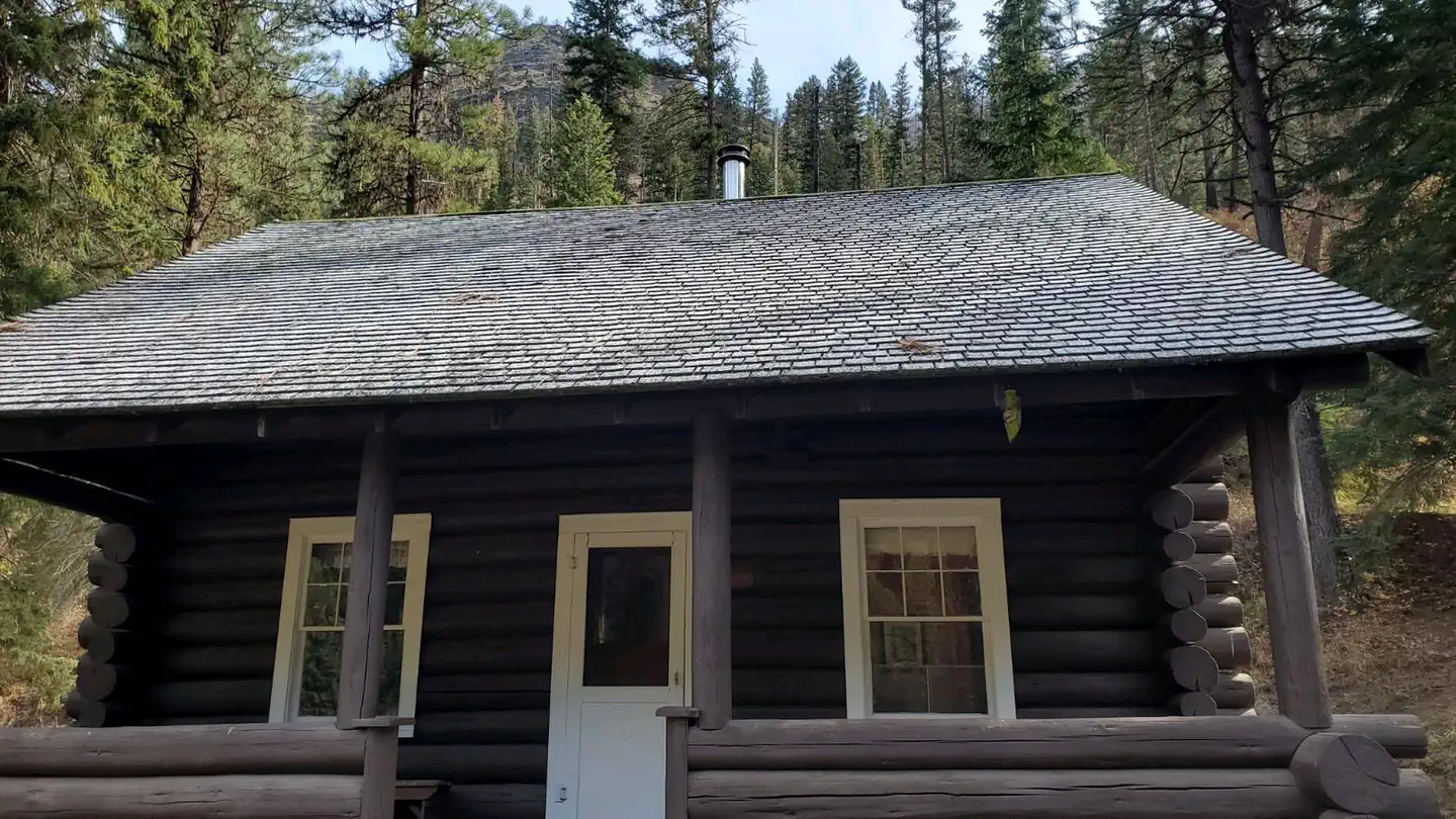
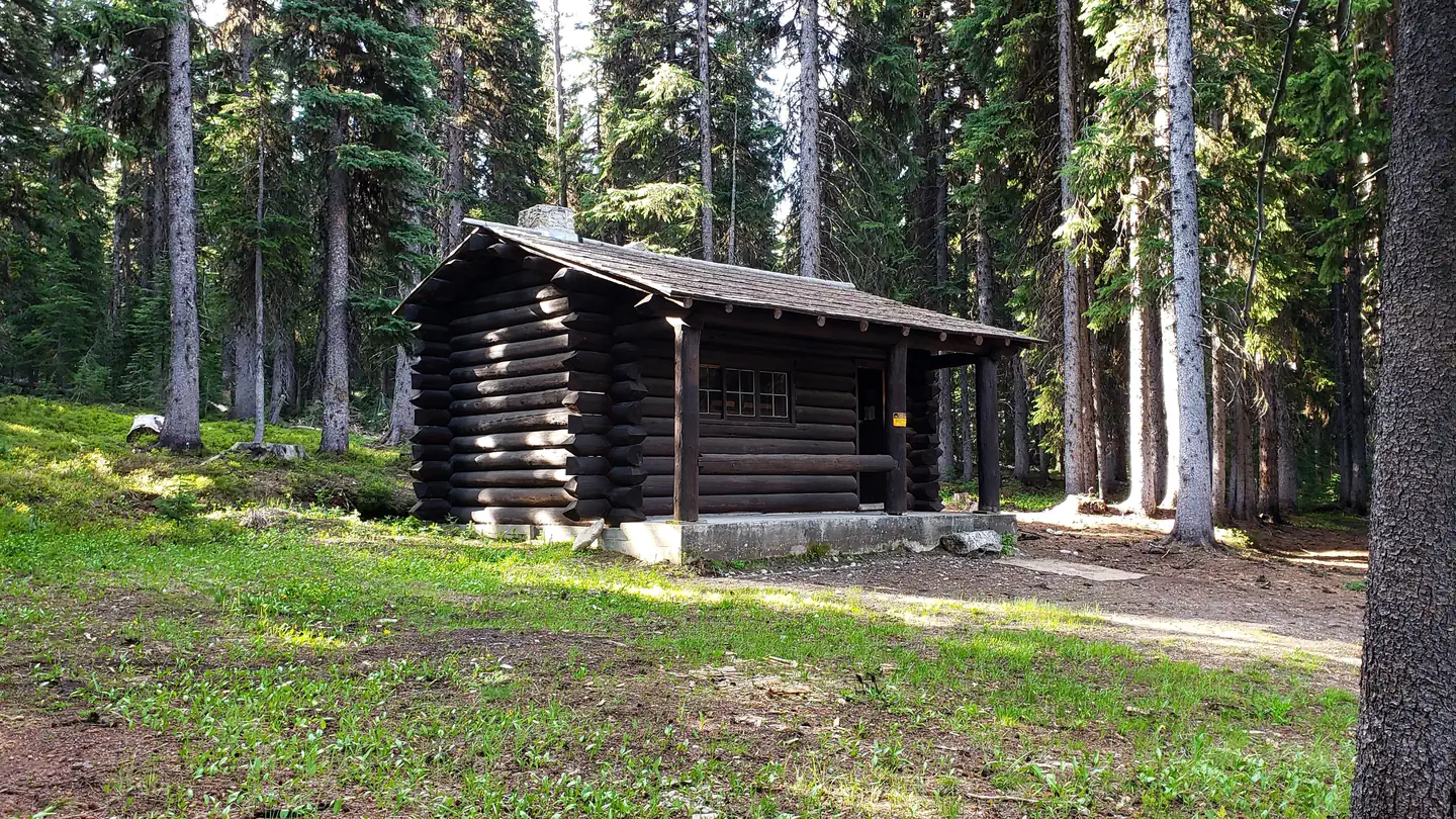
Cabin and lookout rentals nearby
On the National Register nearby
- Alta Ranger StationBuilding · Conner · 11.1 mi
Guidebooks for Idaho
We earn a small commission if you buy through these links. It does not change what we list.
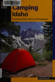
Titles come from Open Library's catalog, matched by subject heading or by title.
Reference
Questions people ask
Can I bring an RV to Horse Creek Hot Spring & Campground?
Horse Creek Hot Spring & Campground is listed for tents only.
Source: Forest Service
What if Horse Creek Hot Spring & Campground is full?
The nearest public campgrounds are Alta Campground (11.3 mi), Spring Creek Campground (12.6 mi, first-come), and Ebenezer Campground (14 mi, first-come).
Source: Campgrounds nearby