Paddy Creek Campground
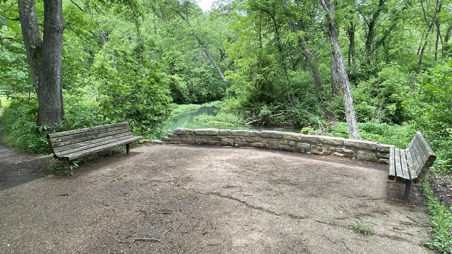
This campground is near the Paddy Creek Wilderenss Area. It is just a short drive or walk from the Paddy Creek Recreation Area's picnic and day use site. At the day-use site, there is a trailhead to enter into the Paddy Creek Wilderness Area. The campground is usually open from April 1 through December 1 each year. This area is perfectly located one hour southwest of Rolla and only an hour drive from Ft. Leonard Wood, Missouri, Paddy Creek Campground is nestled in a hollow along Paddy Creek, a major tributary to Big Piney River, just a few miles away. Paddy Creek flows year-round and is a crystal clear, wading creek with a few swimming holes.
More like this: first-come in Missouri · tent only in Missouri

Site map
16 campsite locations mapped by OpenStreetMap contributors. The site numbers are theirs and may not match the posts at the campground. Map data © OpenStreetMap contributors, ODbL.
Amenities & rules
| Equipment | Tents |
| Fees | $15/day |
Individual sites vary. Confirm on Recreation.gov or with the managing office.
Season & status
| Status | Temporarily closed |
| Forest | Mark Twain National Forest |
| Fees | $15/day |
Weather by month
Getting there
| Coordinates | 37.5535° N, 92.0403° W · Directions ↗ |
Supplies & services
| Dump station | Dump station ↗ | 21 mi |
| Outdoor gear | Alley Spring Store ↗ | 43.4 mi |
| RV sales & service | Quality RV ↗ | 49.5 mi |
Locations © OpenStreetMap contributors. Call ahead; hours change seasonally.
Explore
Trails nearby
- 0.4 miPaddy Creek-Access Spur0.07 mi trail · hiking, horse, bike
- 0.5 miPaddy Creek-Paddy Creek Trail1.1 mi trail · hiking, horse
- 0.6 miSlabtown Bluff Trail0.8 mi trail · hiking, bike
- 0.9 miPaddy Creek-Horse Camp Spurunder 0.1 mi trail · hiking, horse
- 1.8 miPaddy Creek-Bald Ridge Spur1.5 mi trail · hiking, horse
- 2 miPaddy Creek-Big Piney Spur2 mi trail · hiking, horse
Trailheads within three miles
- 0.5 miPaddy Creek trailhead ↗Mark Twain National Forest
Trail and trailhead records are the Forest Service's. Distances are straight-line to the nearer trail end. Trail conditions are not tracked here.
Public land it sits in
Paddy Creek Wilderness begins about 0.5 miles away, and it is the closest of these.
- 0.5 miPaddy Creek Wilderness ↗Wilderness · Forest Service · 7,040 acres
Each unit is published as a centre point and an acreage rather than a boundary, so this section stands it in for a circle of the same area. Whether a campground is inside, and how far it is from one it is outside, are both approximate.
Other campgrounds nearby

On the National Register nearby
- Bates-Geers HouseBuilding · Plato · 3.9 mi
Guidebooks for Missouri
We earn a small commission if you buy through these links. It does not change what we list.
Titles come from Open Library's catalog, matched by subject heading or by title.
Reference
Questions people ask
How much does it cost to camp at Paddy Creek Campground?
$15/day
Source: Forest Service
Is Paddy Creek Campground open right now?
Temporarily closed as of Oct 26, 2026.
Source: Forest Service status
Can I bring an RV to Paddy Creek Campground?
Paddy Creek Campground is listed for tents only.
Source: Forest Service
What if Paddy Creek Campground is full?
The nearest public campgrounds are Lane Spring Recreation Area (20 mi, partly first-come), Akers (28.4 mi), and Pulltite (34.1 mi).
Source: Campgrounds nearby